- 1
- 2
- 3
- 4
- 5


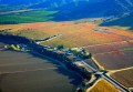
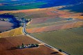
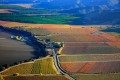
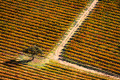


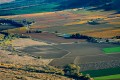

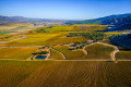
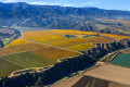
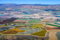
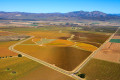
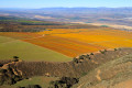
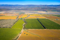


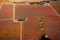


Aerial Photography – Vineyards & Agriculture
“I’m the kind of guy who is always glued to the airline window from take off to landing. I love to fly and combining this with my love for photography shows through in the imagery.”
Steve Zmak has experience photographing a variety of natural or developed terrain from a variety of aircraft including fixed wing, helicopter, and unmanned/drone. He can portray the earth from the air very literally for urban planning and documentation, or more conceptually similar to portraiture, still life and landscape photography, or completely abstract with a painterly style.
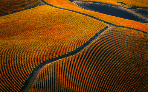
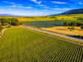
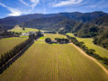
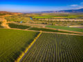
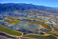
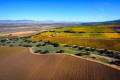
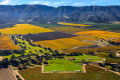
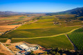
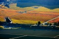
Flying between 200-1,500 feet above the famous Santa Lucia Highlands AVA in Monterey County’s Salinas Valley, this aerial photo includes Pinot Noir and Chardonnay vineyards of Pisoni.
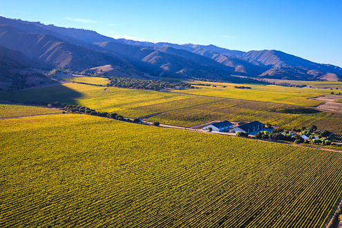
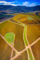
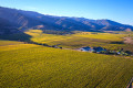
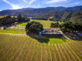
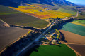
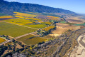
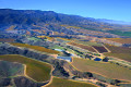
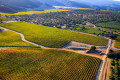
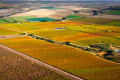
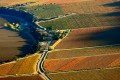
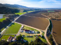
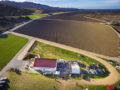
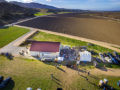
Flying between 200-1,500 feet above the famous Santa Lucia Highlands AVA in Monterey County’s Salinas Valley, this aerial photo includes Pinot Noir and Chardonnay vineyards of Talbott’s Sleepy Hollow, Big Pond River Road, and Mer Soleil.