• 1
  • 2
  • 3
  • Aerial photo of trucks and cars traveling through a roundabout.
    Aerial photo of traffic on a road with distinctly green painted bike lanes.
    Aerial photo of traffic on a road with distinctly green painted bike lanes.
    City of Marina and its neighborhoods as seen from the air.
    West City of Marina and its neighborhoods and sand dunes as seen from the air.
    Coastal freeway wraps around a Monterey Bay beach.
    Coastal freeway wraps around a Monterey Bay beach.
    Coastal freeway wraps around a Monterey Bay beach.
    Aerial photo of half-completed development project including a theater, big box shopping center, commercial offices, medical facilities, single and multi family housing, hotel, and restaurants with the Fort Ord Dunes State Park and Monterey Bay in the background.
    View from the air of a college campus near the ocean.
    State college library, science building, dormitories, and center of campus from the air.
  • State college campus from the air that includes its visitors center and several dormitory buildings.
    College campus library, science building, and dormitories from the air.
    College campus library and science building from the air.
    Marina State Beach and Sanctuary Dunes Resort seen from the air.
    State park beach and sand dunes on a former army base.
    State park beach and sand dunes on a former army base.
    Coastal freeway wraps around a Monterey Bay beach.
    State park beach and Marina shopping center on a former army base.
    Coatal access points for Sand City are seen from the air along with a regional shopping center.
    Sand City and Seaside as seen from the air over the Monterey Bay.
    Northern City of Marina and its neighborhoods as seen from the air.
    State park beach and sand dunes on a former army base.
  • Northern City of Marina and its neighborhoods as seen from the air.
    West City of Marina and its neighborhoods as seen from the air.
    West City of Marina and its neighborhoods as seen from the air.
    View of the Monterey Bay from the air that includes the former Fort Ord army base, CSUMB, and Marina
    Several miles of coastline make up Marina State Beach as seen from the air.
    View of the Monterey Bay from the air that includes the former Fort Ord army base, Marina, and Santa Cruz
    Aerial photo of small coastal city.
    Development areas on the former Fort Ord within the City of marina’s jurisdiction.
    The City of Marina’s former Fort Ord redevelopment area as seen from the air.
    Portrait of pilot flying his plane.
    Wide angle photo of a helicopter pilot with colorful autumn vineyards viible out the large bubble windshield.
    Pilot flying a helicopter with a scenic landscape visible out the big window.

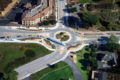
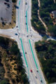
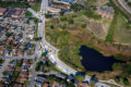
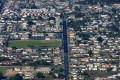
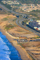
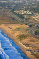
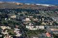
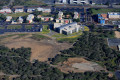
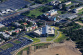
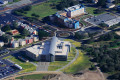
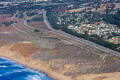
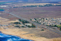
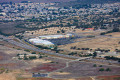
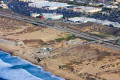
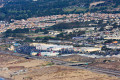
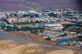
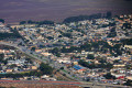
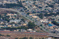
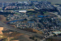
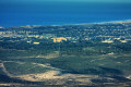
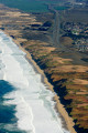
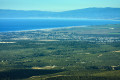
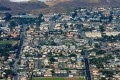
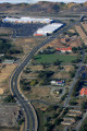
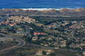
Aerial Photography – Urban Areas

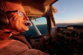
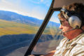
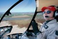
“I’m the kind of guy who is always glued to the airline window from take off to landing.  I love to fly and combining this with my love for photography shows through in the imagery.”

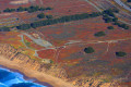
Steve Zmak has experience photographing a variety of natural and developed terrain from a variety of aircraft. He can portray the earth from the air very literally for urban planning and documentation, or more conceptually similar to portraiture, still life and landscape photography, or completely abstract with a painterly style.